-
- Satellite Image Analysis with AI: A Comprehensive Guide
- Understanding Satellite Image Analysis
- Configuration Steps for Satellite Image Analysis with AI
- Step 1: Data Acquisition
- Step 2: Preprocessing the Data
- Step 3: Choosing the Right AI Model
- Step 4: Training the Model
- Step 5: Model Evaluation and Deployment
- Practical Examples of Satellite Image Analysis
- Example 1: Agricultural Monitoring
- Example 2: Urban Development Tracking
- Best Practices for Satellite Image Analysis
- Case Studies and Statistics
- Conclusion
Satellite Image Analysis with AI: A Comprehensive Guide
Satellite image analysis has become an essential tool in various fields, including agriculture, urban planning, environmental monitoring, and disaster management. The integration of artificial intelligence (AI) into this domain has revolutionized the way we interpret and utilize satellite data. By leveraging AI, we can automate the analysis process, enhance accuracy, and derive actionable insights from vast amounts of imagery. This guide will provide a detailed overview of satellite image analysis using AI, including configuration steps, practical examples, best practices, and relevant case studies.
Understanding Satellite Image Analysis
Satellite images are captured by satellites orbiting the Earth, providing a bird’s-eye view of the planet’s surface. These images can be analyzed to extract valuable information, such as land use, vegetation health, and urban development. AI techniques, particularly machine learning and deep learning, have significantly improved the efficiency and effectiveness of this analysis.
Configuration Steps for Satellite Image Analysis with AI
Step 1: Data Acquisition
The first step in satellite image analysis is acquiring the necessary data. This can be done through various sources:
- Publicly available satellite imagery (e.g., Landsat, Sentinel-2)
- Commercial satellite services (e.g., Planet Labs, Maxar)
- Custom satellite data from specific missions
Step 2: Preprocessing the Data
Before analysis, satellite images often require preprocessing to enhance quality and remove noise. Common preprocessing steps include:
- Geometric correction
- Radiometric correction
- Cloud masking
Tools like GDAL and QGIS can be used for these tasks.
Step 3: Choosing the Right AI Model
Selecting an appropriate AI model is crucial for effective analysis. Common models include:
- Convolutional Neural Networks (CNNs) for image classification
- Generative Adversarial Networks (GANs) for image enhancement
- Recurrent Neural Networks (RNNs) for time-series analysis
Step 4: Training the Model
Once the model is selected, it needs to be trained on labeled datasets. This involves:
- Collecting labeled training data
- Splitting the data into training, validation, and test sets
- Using frameworks like TensorFlow or PyTorch for model training
Example code snippet for training a CNN:
import tensorflow as tf
from tensorflow.keras import layers, models

model = models.Sequential()
model.add(layers.Conv2D(32, (3, 3), activation='relu', input_shape=(image_height, image_width, channels)))
model.add(layers.MaxPooling2D((2, 2)))
# Add more layers as needed
model.compile(optimizer='adam', loss='sparse_categorical_crossentropy', metrics=['accuracy'])
model.fit(train_images, train_labels, epochs=10, validation_data=(val_images, val_labels))
Step 5: Model Evaluation and Deployment
After training, evaluate the model’s performance using the test set. Metrics to consider include:
- Accuracy
- Precision and Recall
- F1 Score
Once satisfied with the model’s performance, deploy it for real-time analysis or batch processing of satellite images.
Practical Examples of Satellite Image Analysis
Example 1: Agricultural Monitoring
AI can be used to analyze satellite images for crop health assessment. By applying machine learning algorithms, farmers can monitor vegetation indices like NDVI (Normalized Difference Vegetation Index) to optimize irrigation and fertilization.
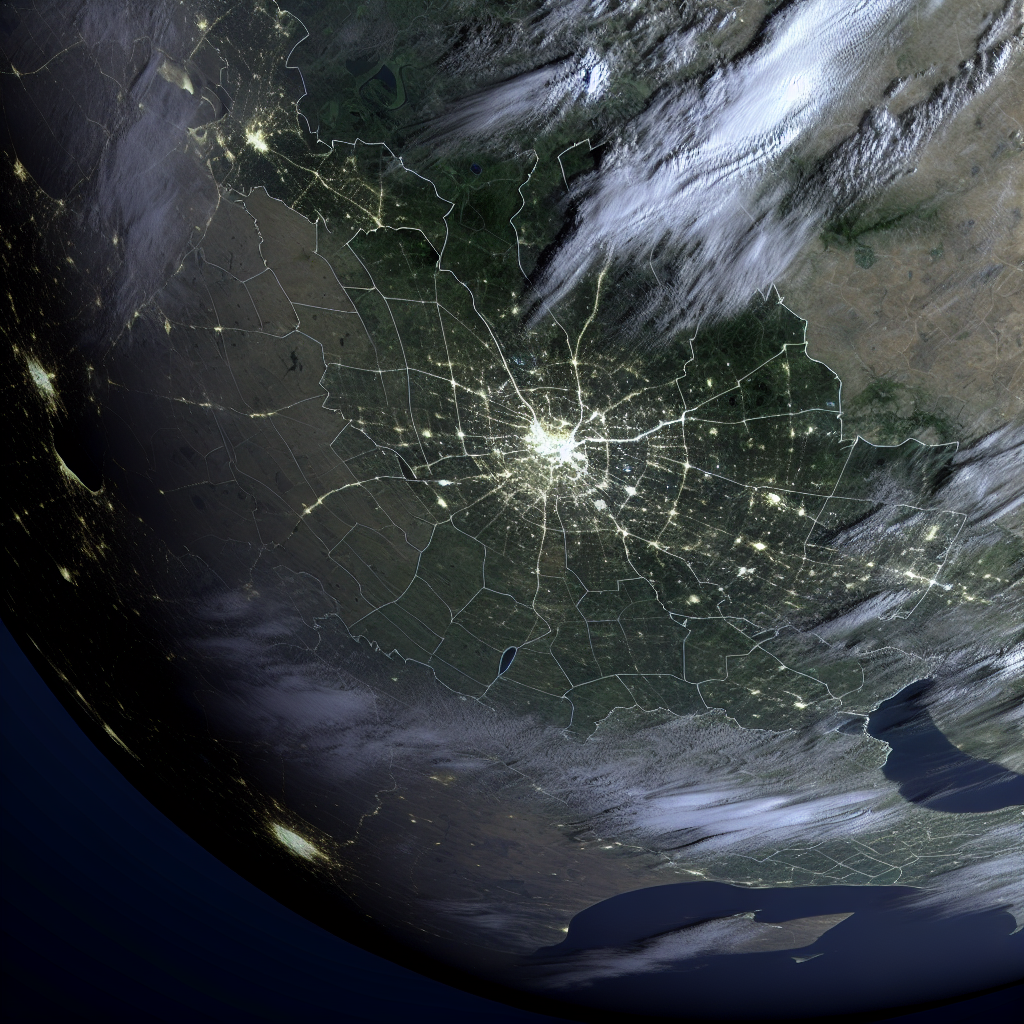
Example 2: Urban Development Tracking
Urban planners can utilize AI to analyze changes in land use over time. By comparing historical satellite images, they can identify urban sprawl and assess the impact of development projects.
Best Practices for Satellite Image Analysis
- Ensure high-quality data acquisition to improve analysis accuracy.
- Regularly update training datasets to reflect current conditions.
- Utilize transfer learning to leverage pre-trained models for specific tasks.
- Implement robust validation techniques to avoid overfitting.
Case Studies and Statistics
A study conducted by the European Space Agency found that AI-enhanced satellite imagery analysis improved land cover classification accuracy by over 20% compared to traditional methods. Additionally, a project in California utilized AI to monitor wildfires, resulting in a 30% reduction in response time due to timely alerts generated from satellite data.
Conclusion
Satellite image analysis with AI is a powerful tool that can transform how we understand and interact with our environment. By following the configuration steps outlined in this guide, leveraging practical examples, and adhering to best practices, organizations can harness the full potential of satellite imagery. As technology continues to evolve, staying informed and adaptable will be key to maximizing the benefits of AI in satellite image analysis.